SEARCH & RESCUE PLANNING

Your thinking.
In view.

DynaSAR gives the operator a simple place to explore the search area and explain the result to the team.

Developed by people with SAR experience.
Available now.

A closer look at the workspace ↓
THE OPERATOR’S WORKSPACESCROLL TO EXPLORE ↓
01 / INFORMATION

The inputs stay
within reach.

Incident information and calculation controls sit in the left panel. The map gives a quick overview of the search area, with the selected time in view.

A simple interface keeps the assumptions beside the picture they produce.
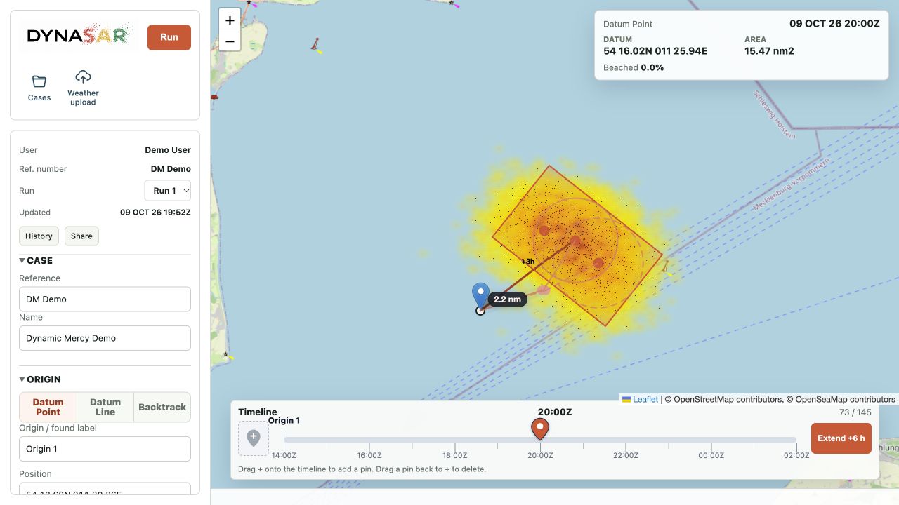
DynaSAR’s left information panel beside the search map and timeline, using demonstration data
02 / TIME

The picture follows
the time.

Move through saved frames using the timeline. Add several time pointers to see search areas for different times together on the map.

Reviewing saved frames does not require a new calculation.

DynaSAR’s timeline and add-pin control
03 / SAVED IDEAS

A new assumption.
Another saved run.

Return to the inputs and result behind an earlier line of thinking. Revisit them as the mission develops and when the team evaluates it afterwards.

The saved runs give the planning conversation a reference to return to.
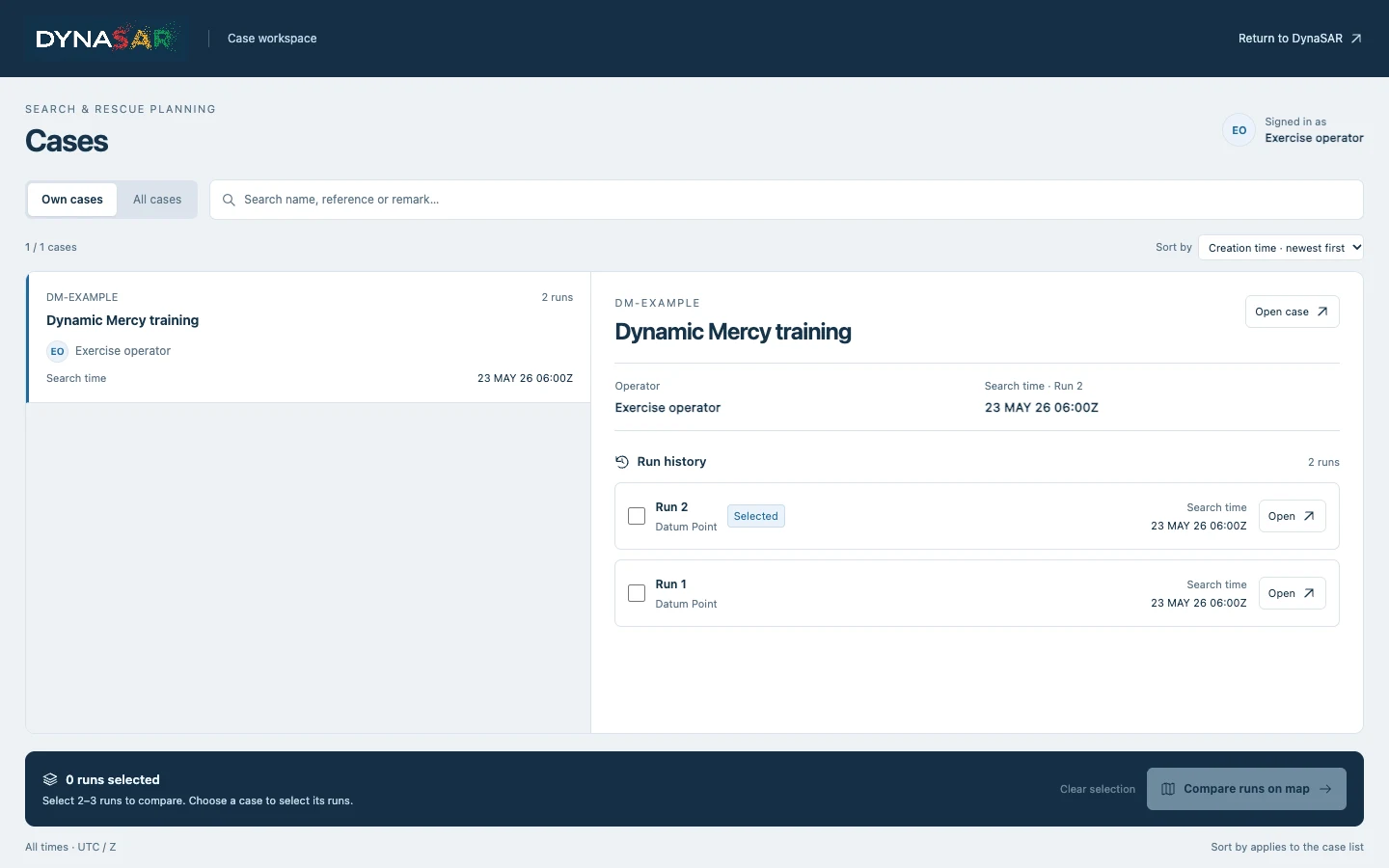
Case history with two fictional training runs
04 / WORKING TOGETHER

The same result
for the discussion.

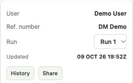
The Share button copies the saved run link. Give external partners a clear common reference for your joint briefing.

A result that the team can reopen, rather than just a picture of it.
A CHOICE OF OPERATING SETTING

Online.
Or with you,
offline.

Use DynaSAR online or install it locally on Mac or Windows for disconnected work.

Prepare local maps and weather data before going offline. Fresh online information and remote sharing require a connection.

MAC / WINDOWS

EFFORT ALLOCATION

A whole new way
to approach
effort allocation.

We have developed a different way to think about allocating search effort. Let us show you the approach.

Let’s talk ↗

A FEW USEFUL DETAILS

Before we meet.

Is DynaSAR available now?

Yes. DynaSAR is a working product. Contact us to arrange a demonstration and discuss the setup that fits your organisation.

Does the timeline start a new calculation?

No. Moving through the timeline displays saved frames. Additional time pointers let you keep different search times in view together.

What does offline use need?

A local installation with the maps and weather data prepared for the work. Live online information and communication with remote partners still need a connection.

READY TO SEE IT IN USE?

Your scenario.
Our next conversation.

Request a demo ↗